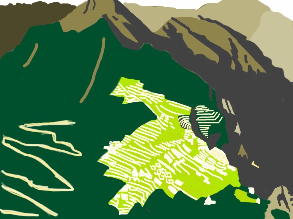
Day one hundred and fifty-five: After hiking straight up about 941 feet via a steep and twisting series of stone steps, squeezing through a narrow tunnel, and tentatively perching myself on the the knife-shaped summit of Waynapicchu Moutain (altitude 8,924 feet), I snapped an aerial view photo of the Machu Picchu complex below. I had hoped my sketch based on the pic would be more complete than the color-by-numbers version here, but after descending Waynapicchu, and then climbing to Intipunku (the sungate, at an elevation higher than Waynapicchu), down again, and then climbing higher still to the summit of Machu Picchu Moutain (about 2,027 feet above the ruins to an altitude of 10,009 feet), I was too exhausted to add any more detail to this drawing. Needless to say, the views along the ways and at the tops were spectacular, and worth all the work and nerve it took to see them.
Post a Comment